Vertical and both-side layouts now available
There’s a new layout button next to the zoom controls with three options: Tree, Top-down and Both sides. Tree is the layout maps have always had.
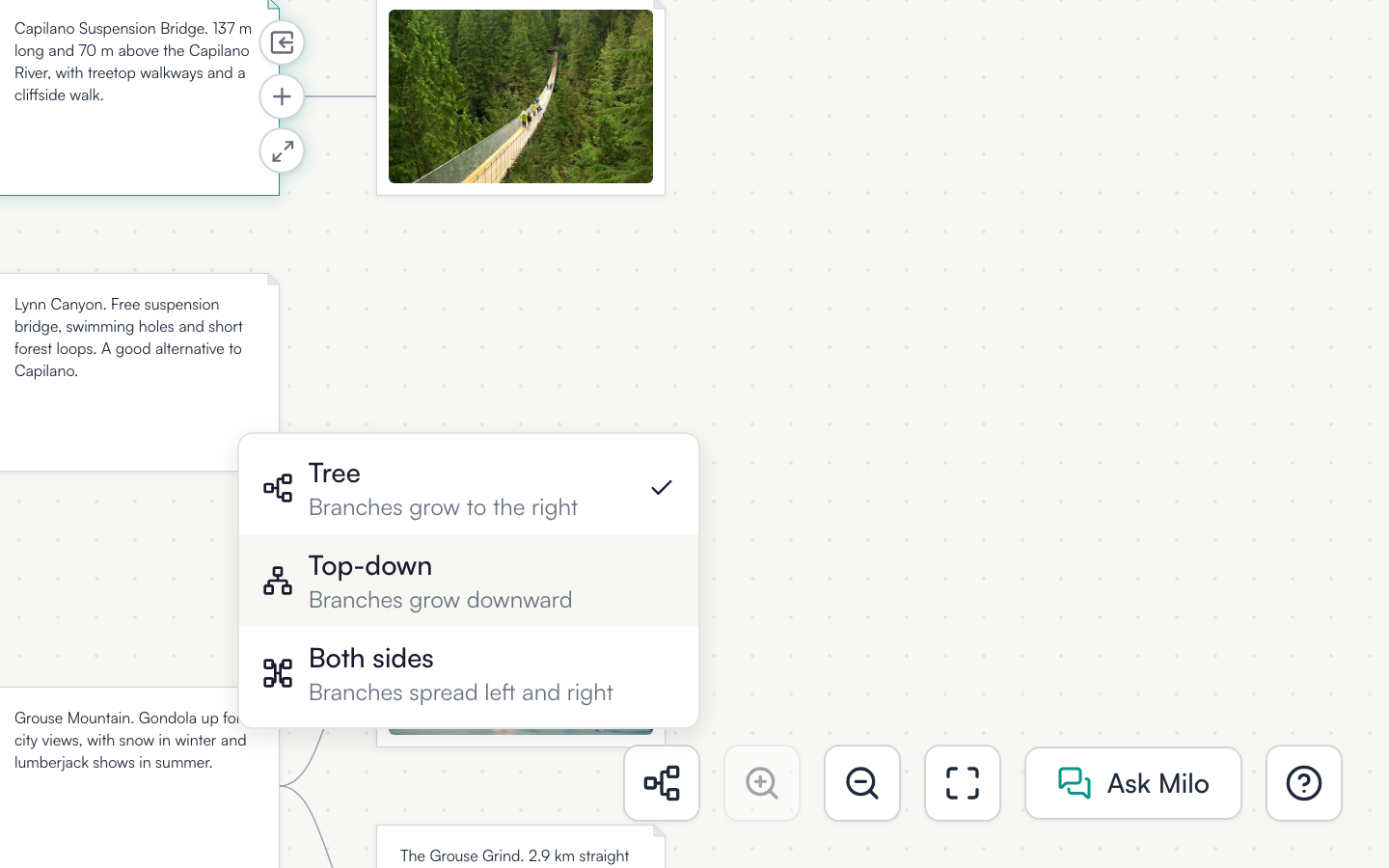
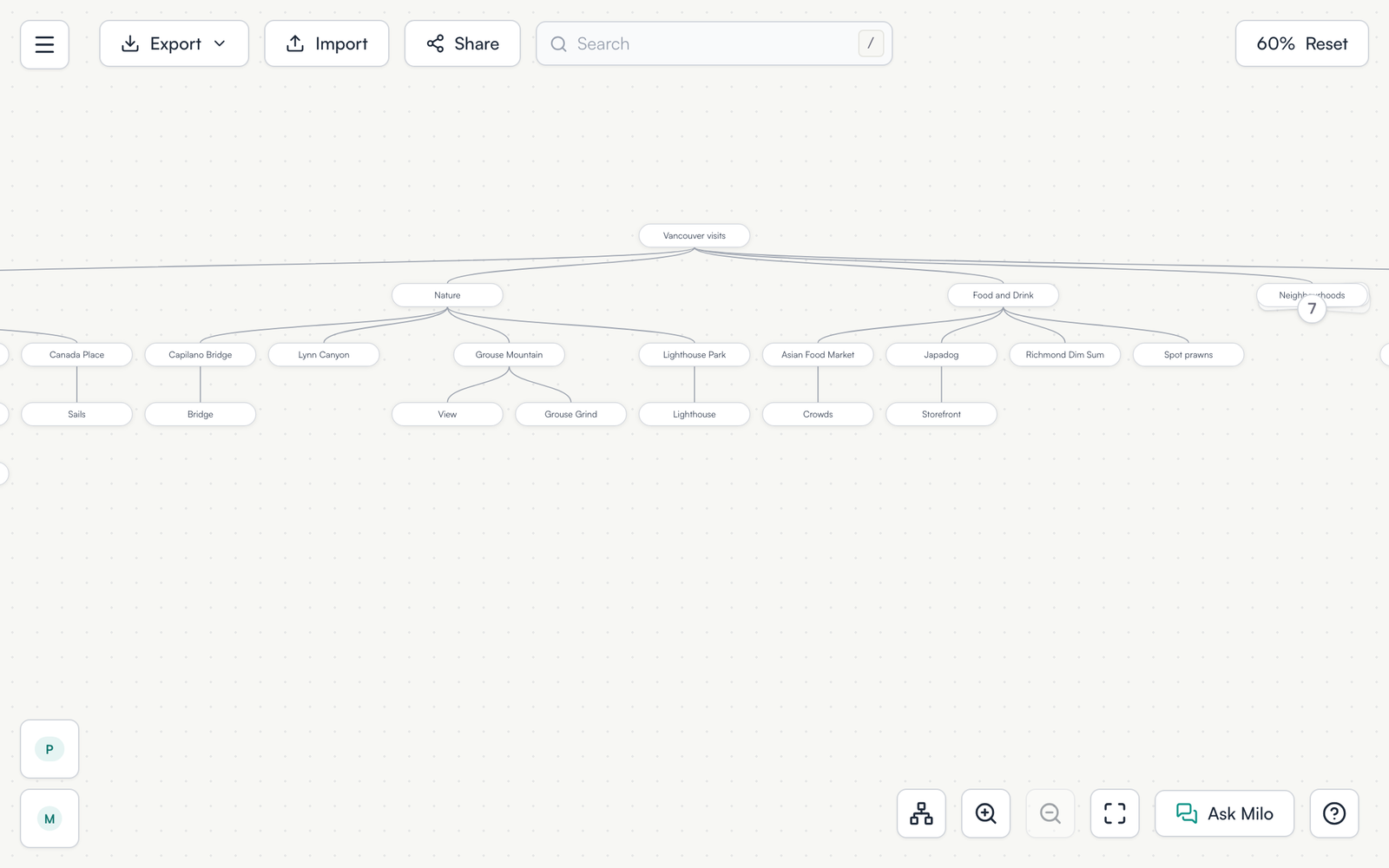
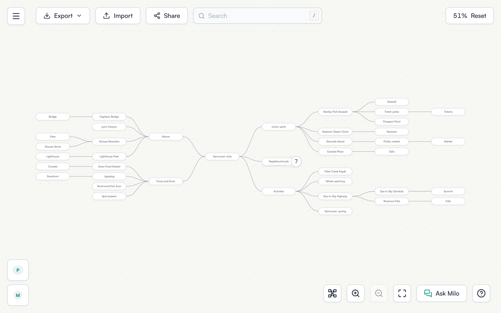
The layout is saved with the map. It stays the same after a reload, on your other devices, and for anyone you share the map with, and copies of a shared map keep it. People viewing a published map or an embed can switch layouts for themselves without changing yours.
Keyboard shortcuts follow the layout. In Top-down, ⌘ + ↓ adds a child and ⌘ + ← and ⌘ + → add siblings. The shortcut list, the right-click menu and the tips show the keys for the layout you’re in.
Milo and agents connected over MCP can change the layout too.
Top-down works best at the Full and Tweet zoom levels. At Phrase and Keyword the map gets very wide, so Tree is usually easier to read there.
Open a map to try it.
Photos in the example map are from Wikimedia Commons: Stanley Park Seawall and Canada Place by Dietmar Rabich (CC BY-SA 4.0); Gastown by Xicotencatl (CC BY-SA 4.0); Public Market by Jay Esplana (CC BY 4.0); Capilano Suspension Bridge by David J Laporte (CC BY 2.0); Grouse Mountain by Rollan Budi (CC BY-SA 2.0); Point Atkinson Lighthouse by Jonathan Pope (CC BY 2.0); totem poles and Kitsilano Beach by dronepicr (CC BY 2.0); Richmond Night Market and Japadog by GoToVan (CC BY 2.0); Shannon Falls by Natulive Canada (CC BY-SA 4.0); Sea to Sky Gondola by DarkNight0917 (CC BY-SA 4.0).


